2007
SP7449 : Stoke Bruerne
taken 17 years ago, near to Stoke Bruerne, West Northamptonshire, England
This is 1 of 9 images, with title Stoke Bruerne in this square
Stoke Bruerne
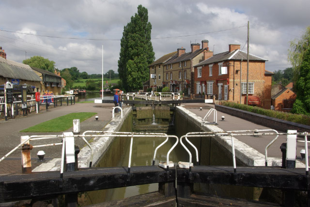
The top lock of the flight of seven is in the foreground. Beyond that is a restaurant and the well-known canal museum. On the left is the thatched Boat Inn.
 Map © Crown Copyright")
TIP: Click the map for more Large scale mapping
- Grid Square
- SP7449, 189 images (more nearby 🔍)
- Photographer
- Stephen McKay (more nearby)
- Date Taken
- Monday, 20 August, 2007 (more nearby)
- Submitted
- Wednesday, 22 August, 2007
- Subject Location
-
OSGB36:
 SP 743 499 [100m precision]
WGS84: 52:8.5657N 0:54.9146W - Camera Location
-
OSGB36: SP 743 499
- View Direction
- Northwest (about 315 degrees)