2016
ST7065 : Disused railway bridge crosses the River Avon
taken 8 years ago, near to Corston, Bath And North East Somerset, England
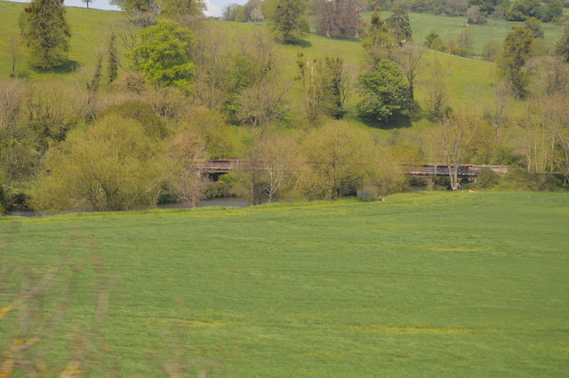
Disused railway bridge crosses the River Avon
The River Avon is a river in the south west. To distinguish it from a number of other rivers of the same name, this river is often also known as the Bristol Avon. The name "Avon" is a derivation of the Welsh word afon, "river".
The Avon rises just north of the village of Acton Turville in South Gloucestershire, before flowing through Wiltshire. In its lower reaches from Bath to the Severn Estuary at Avonmouth near Bristol the river is navigable and known as the Avon Navigation. The river passes through both Bath and Bristol.
The Avon is the 19th longest river in the UK at 75 miles although there are just 19 miles as the crow flies between the source and its mouth in the Severn Estuary. The catchment area is 2,220 square kilometres.
See other images of River Avon (Bristol)
 Map © Crown Copyright")
TIP: Click the map for more Large scale mapping
- Grid Square
- ST7065, 62 images (more nearby 🔍)
- Photographer
- N Chadwick (more nearby)
- Date Taken
- Sunday, 8 May, 2016 (more nearby)
- Submitted
- Thursday, 30 March, 2017
- Subject Location
-
OSGB36:
 ST 7037 6591 [10m precision]
WGS84: 51:23.4870N 2:25.6340W - Camera Location
-
OSGB36: ST 7023 6568
- View Direction
- North-northeast (about 22 degrees)