2013
ST7684 : Converted Farm Building, Horton Hill, Horton, Gloucestershire 2013
taken 10 years ago, near to Horton, South Gloucestershire, England
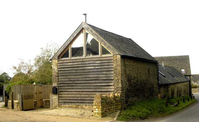
Converted Farm Building, Horton Hill, Horton, Gloucestershire 2013
 Map © Crown Copyright")
TIP: Click the map for more Large scale mapping
- Grid Square
- ST7684, 96 images (more nearby 🔍)
- Photographer
- Ray Bird (more nearby)
- Date Taken
- Wednesday, 30 October, 2013 (more nearby)
- Submitted
- Saturday, 1 April, 2017
- Subject Location
-
OSGB36:
 ST 7627 8421 [10m precision]
WGS84: 51:33.3762N 2:20.6205W - Camera Location
-
OSGB36: ST 7633 8419
- View Direction
- West-northwest (about 292 degrees)