2017
NT2437 : New path joins forest road, Cademuir
taken 7 years ago, near to Kings Muir, Scottish Borders, Scotland
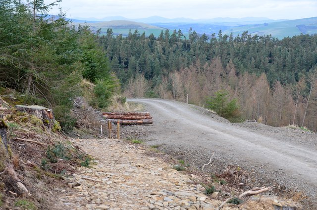
New path joins forest road, Cademuir
The route from the summit reaches a forest road contouring to the NW.
 Map © Crown Copyright")
TIP: Click the map for more Large scale mapping
- Grid Square
- NT2437, 76 images (more nearby 🔍)
- Photographer
- Jim Barton (more nearby)
- Date Taken
- Monday, 3 April, 2017 (more nearby)
- Submitted
- Wednesday, 5 April, 2017
- Subject Location
-
OSGB36:
 NT 2446 3778 [10m precision]
WGS84: 55:37.6621N 3:12.0751W - Camera Location
-
OSGB36: NT 2446 3775
- View Direction
- North-northeast (about 22 degrees)