2017
SU5482 : Path to the Fair Mile
taken 7 years ago, 3 km from Aldworth, West Berkshire, England
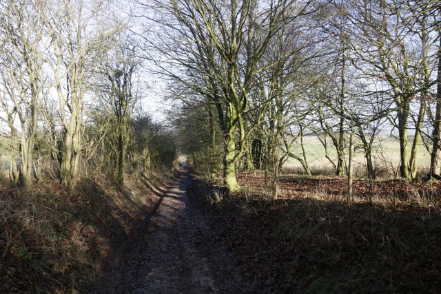
Path to the Fair Mile
Leads past Deans Bottom to the Fair Mile and Cholsey Downs
 Map © Crown Copyright")
TIP: Click the map for more Large scale mapping
- Grid Square
- SU5482, 66 images (more nearby 🔍)
- Photographer
- Bill Nicholls (more nearby)
- Date Taken
- Monday, 2 January, 2017 (more nearby)
- Submitted
- Wednesday, 5 April, 2017
- Subject Location
-
OSGB36:
 SU 5428 8233 [10m precision]
WGS84: 51:32.2363N 1:13.1270W - Camera Location
-
OSGB36: SU 5425 8229
- View Direction
- North-northeast (about 22 degrees)