2016
SX7443 : Bowcombe Creek
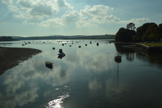
taken 7 years ago, near to West Charleton, Devon, England
This is 1 of 11 images, with title Bowcombe Creek in this square
Bowcombe Creek
Bowcombe Creek, part of the Kingsbridge Estuary.
Kingsbridge Estuary (Salcombe Estuary) :: SX7343
The Kingsbridge Estuary is located in the South Hams area of Devon, running from Kingsbridge in the north to its mouth at the English Channel near Salcombe. The estuary is popular with sailors and holiday makers and it lies within the South Devon Area of Outstanding Natural Beauty (AONB).
The Kingsbridge Estuary is an extreme example of a ria as it has no main rivers running into it just a series of small streams.
 Map © Crown Copyright")
TIP: Click the map for more Large scale mapping
- Grid Square
- SX7443, 38 images (more nearby 🔍)
- Photographer
- N Chadwick (more nearby)
- Date Taken
- Friday, 21 October, 2016 (more nearby)
- Submitted
- Sunday, 9 April, 2017
- Subject Location
-
OSGB36:
 SX 7447 4303 [10m precision]
WGS84: 50:16.4315N 3:45.7768W - Camera Location
-
OSGB36: SX 7454 4313
- View Direction
- South-southwest (about 202 degrees)