2017
TQ3692 : The River Lea Flood Relief Channel
taken 7 years ago, near to Edmonton, Enfield, England
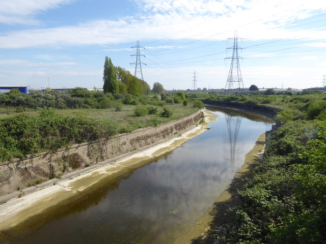
The River Lea Flood Relief Channel
 Map © Crown Copyright")
TIP: Click the map for more Large scale mapping
- Grid Square
- TQ3692, 34 images (more nearby 🔍)
- Photographer
- Marathon (more nearby)
- Date Taken
- Wednesday, 12 April, 2017 (more nearby)
- Submitted
- Friday, 14 April, 2017
- Subject Location
-
OSGB36:
 TQ 3612 9215 [10m precision]
WGS84: 51:36.7039N 0:2.1319W - Camera Location
-
OSGB36: TQ 3611 9226
- View Direction
- SOUTH (about 180 degrees)