2017
NT1837 : Stobo from the railway path
taken 7 years ago, near to Stobo, Scottish Borders, Scotland
This is 1 of 15 images, with title starting with Stobo in this square
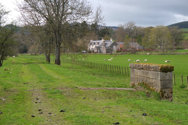
Stobo from the railway path
Part of the hamlet of Stobo - the stone building in the centre is the old school. See NT1837 : The Former School Building at Stobo for a closer view.
 Map © Crown Copyright")
TIP: Click the map for more Large scale mapping
- Grid Square
- NT1837, 74 images (more nearby 🔍)
- Photographer
- Jim Barton (more nearby)
- Date Taken
- Friday, 21 April, 2017 (more nearby)
- Submitted
- Friday, 21 April, 2017
- Subject Location
-
OSGB36:
 NT 1852 3771 [10m precision]
WGS84: 55:37.5667N 3:17.7325W - Camera Location
-
OSGB36: NT 1865 3777
- View Direction
- West-southwest (about 247 degrees)