2017
TM1079 : Roydon Fen and Angles Way Footpath to Doit Lane
taken 7 years ago, near to Diss, Norfolk, England
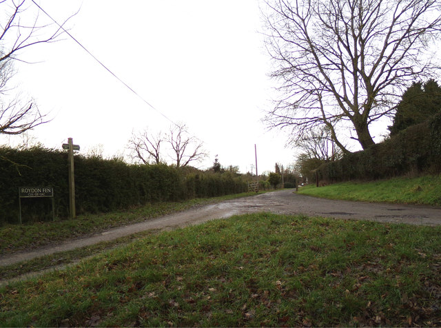
Roydon Fen and Angles Way Footpath to Doit Lane
At the junction with Tottington Lane
 Map © Crown Copyright")
TIP: Click the map for more Large scale mapping
- Grid Square
- TM1079, 41 images (more nearby 🔍)
- Photographer
- Geographer (more nearby)
- Date Taken
- Saturday, 4 February, 2017 (more nearby)
- Submitted
- Sunday, 23 April, 2017
- Subject Location
-
OSGB36:
 TM 10456 79865 [1m precision]
WGS84: 52:22.5824N 1:5.4284E - Camera Location
-
OSGB36: TM 10456 79865
- View Direction
- WEST (about 270 degrees)