2017
ST9618 : Woodcutts Common, ditch
taken 7 years ago, near to Woodcutts, Dorset, England
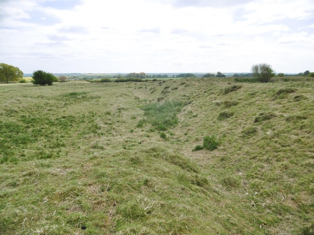
Woodcutts Common, ditch
Ditch and embankment, part of an extensive Iron Age and Romano-British settlement. Listed by Pastscape: Link
 Map © Crown Copyright")
TIP: Click the map for more Large scale mapping
- Grid Square
- ST9618, 15 images (more nearby 🔍)
- Photographer
- Mike Faherty (more nearby)
- Date Taken
- Thursday, 27 April, 2017 (more nearby)
- Submitted
- Friday, 28 April, 2017
- Subject Location
-
OSGB36:
 ST 9633 1815 [10m precision]
WGS84: 50:57.7656N 2:3.2179W - Camera Location
-
OSGB36: ST 9633 1815
- View Direction
- SOUTH (about 180 degrees)