2017
NS3922 : Beneath Mount Scarburgh
taken 7 years ago, near to Annbank, South Ayrshire, Scotland
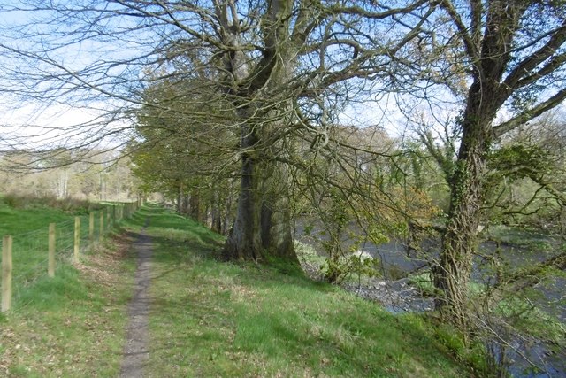
Beneath Mount Scarburgh
The River Ayr Way takes a break from the steep woodland and crosses farmland here.
 Map © Crown Copyright")
TIP: Click the map for more Large scale mapping
- Grid Square
- NS3922, 61 images (more nearby 🔍)
- Photographer
- Richard Webb (more nearby)
- Date Taken
- Saturday, 22 April, 2017 (more nearby)
- Submitted
- Tuesday, 2 May, 2017
- Subject Location
-
OSGB36:
 NS 3955 2253 [10m precision]
WGS84: 55:28.2123N 4:32.3884W - Camera Location
-
OSGB36: NS 3955 2249
- View Direction
- NORTH (about 0 degrees)