2017
NZ3170 : Cycle route in former railway cutting, West Allotment
taken 7 years ago, near to Shiremoor, North Tyneside, England
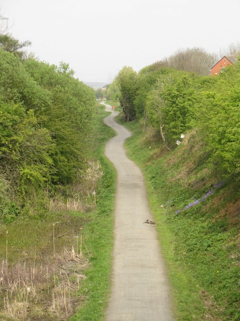
Cycle route in former railway cutting, West Allotment
A mixed use cycle way and footpath make use of a former railway cutting to provide a traffic free route passing through West Allotment and towards Percy Main. The path is seen from a bridge carrying New York Road over the cutting.
 Map © Crown Copyright")
TIP: Click the map for more Large scale mapping
- Grid Square
- NZ3170, 81 images (more nearby 🔍)
- Photographer
- Graham Robson (more nearby)
- Date Taken
- Monday, 1 May, 2017 (more nearby)
- Submitted
- Tuesday, 2 May, 2017
- Subject Location
-
OSGB36:
 NZ 3155 7051 [10m precision]
WGS84: 55:1.6875N 1:30.4794W - Camera Location
-
OSGB36: NZ 3156 7050
- View Direction
- Northwest (about 315 degrees)