2017
J5082 : View SW towards the 'Long Hole' harbour at Bangor
taken 7 years ago, near to Bangor, Co Down, Northern Ireland
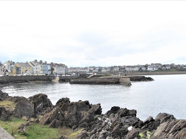
View SW towards the 'Long Hole' harbour at Bangor
The image was taken from the Seacliff Road.
The Long Hole
Also known as the 'Big Hole', this small harbour in Bangor, now silted up and disused, was created when stone was quarried out in the 19th Century.
Loading map... (JavaScript required)
- Grid Square
- J5082, 2267 images (more nearby 🔍)
- Photographer
- Eric Jones (more nearby)
- Date Taken
- Monday, 17 April, 2017 (more nearby)
- Submitted
- Saturday, 6 May, 2017
- Subject Location
-
Irish:
 J 507 823 [100m precision]
WGS84: 54:39.9755N 5:39.8757W - Camera Location
-
Irish: J 508 824
- View Direction
- Southwest (about 225 degrees)