2017
SO8495 : Greenacres Footpath
taken 7 years ago, near to Seisdon, Staffordshire, England
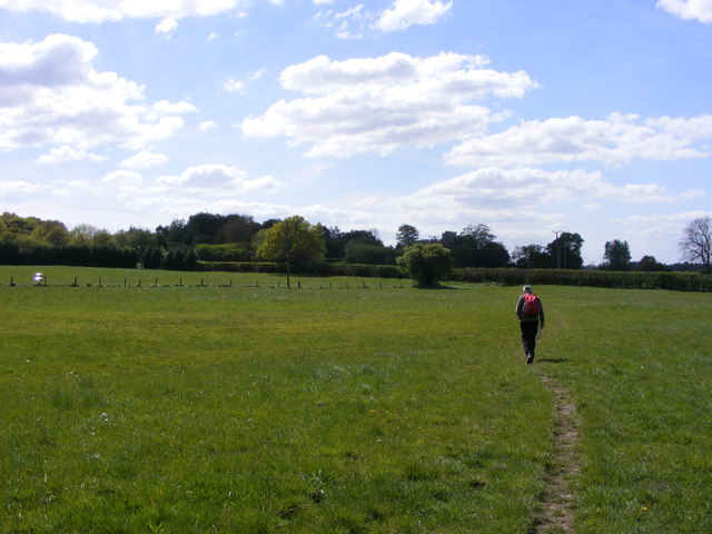
Greenacres Footpath
The path view near Seisdon, Staffordshire.
 Map © Crown Copyright")
TIP: Click the map for more Large scale mapping
- Grid Square
- SO8495, 62 images (more nearby 🔍)
- Photographer
- Gordon Griffiths (more nearby)
- Date Taken
- Friday, 5 May, 2017 (more nearby)
- Submitted
- Tuesday, 9 May, 2017
- Subject Location
-
OSGB36:
 SO 8460 9576 [10m precision]
WGS84: 52:33.5673N 2:13.7155W - Camera Location
-
OSGB36: SO 8470 9578
- View Direction
- West-southwest (about 247 degrees)