2017
NZ2674 : Annitsford pond
taken 7 years ago, near to Dudley, North Tyneside, England
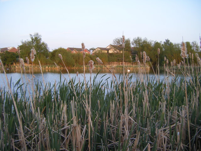
Annitsford pond
 Map © Crown Copyright")
TIP: Click the map for more Large scale mapping
- Grid Square
- NZ2674, 31 images (more nearby 🔍)
- Photographer
- brian clark (more nearby)
- Date Taken
- Thursday, 11 May, 2017 (more nearby)
- Submitted
- Saturday, 13 May, 2017
- Subject Location
-
OSGB36:
 NZ 2668 7414 [10m precision]
WGS84: 55:3.6617N 1:35.0299W - Camera Location
-
OSGB36: NZ 2664 7415
- View Direction
- East-southeast (about 112 degrees)