2017
TF1606 : Footpath near Peakirk
taken 7 years ago, near to Peakirk, Peterborough, England
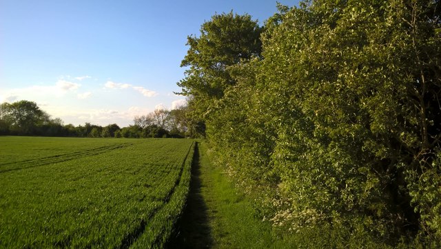
Footpath near Peakirk
The footpath runs alongside the fields between Rectory Lane, Peakirk, and the bank of South Drain just north of Glinton.
 Map © Crown Copyright")
TIP: Click the map for more Large scale mapping
- Grid Square
- TF1606, 170 images (more nearby 🔍)
- Photographer
- Paul Bryan (more nearby)
- Date Taken
- Sunday, 14 May, 2017 (more nearby)
- Submitted
- Sunday, 14 May, 2017
- Subject Location
-
OSGB36:
 TF 1645 0690 [10m precision]
WGS84: 52:38.8407N 0:16.8125W - Camera Location
-
OSGB36: TF 1647 0686
- View Direction
- North-northwest (about 337 degrees)