2017
NY9650 : Ordnance Survey Flush Bracket G2997
taken 7 years ago, near to Blanchland, Northumberland, England
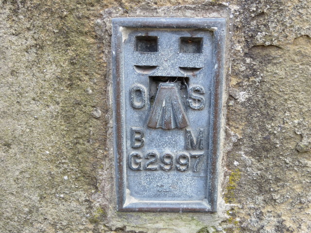
Ordnance Survey Flush Bracket G2997
This can be found on the wall of a former school building - now the White Monk Tearoom - in Blanchland. The benchmark height is recorded as being 242.003 metres above sea level.
For more detail see : Link
For more detail see : Link
 Map © Crown Copyright")
TIP: Click the map for more Large scale mapping
- Grid Square
- NY9650, 200 images (more nearby 🔍)
- Photographer
- Peter Wood (more nearby)
- Date Taken
- Monday, 27 March, 2017 (more nearby)
- Submitted
- Friday, 19 May, 2017
- Subject Location
-
OSGB36:
 NY 96561 50432 [1m precision]
WGS84: 54:50.9208N 2:3.3050W