2017
NG9950 : Path junction below Beinn Liath Mhor
taken 7 years ago, 5 km NNE of Balnacra, Highland, Scotland
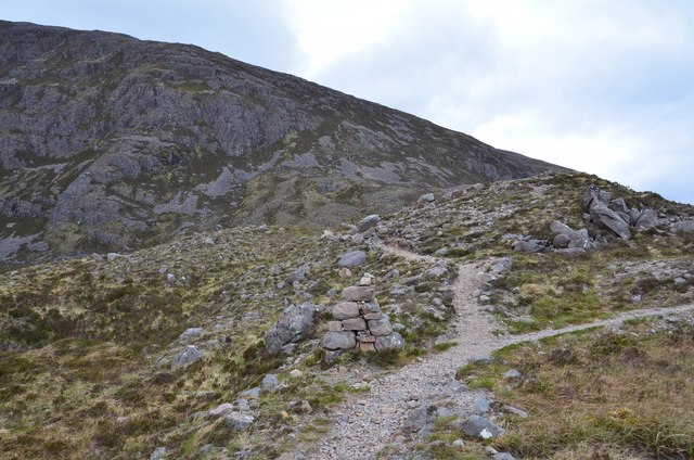
Path junction below Beinn Liath Mhor
Cairn and path junction where the route to Beinn Liath Mhor heads left and up the hill. The right-hand fork crosses the moorland to descend to the Coulin estate.
 Map © Crown Copyright")
TIP: Click the map for more Large scale mapping
- Grid Square
- NG9950, 24 images (more nearby 🔍)
- Photographer
- Jim Barton (more nearby)
- Date Taken
- Wednesday, 17 May, 2017 (more nearby)
- Submitted
- Monday, 22 May, 2017
- Subject Location
-
OSGB36:
 NG 9908 5057 [10m precision]
WGS84: 57:30.0383N 5:21.2972W - Camera Location
-
OSGB36: NG 9909 5055
- View Direction
- NORTH (about 0 degrees)