2016
SX5156 : The Laira
taken 7 years ago, 3 km from Plympton, Plymouth, England
This is 1 of 10 images, with title The Laira in this square
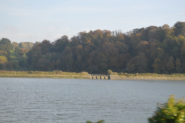
The Laira
Laira was originally the name given to that part of the estuary of the River Plym from the Cattewater up to Marsh Mills in Plymouth. The name may derive from a Brythonic word corresponding to the Welsh llaeru, meaning 'to ebb'.
See other images of The Laira
See other images of The Laira
 Map © Crown Copyright")
TIP: Click the map for more Large scale mapping
- Grid Square
- SX5156, 179 images (more nearby 🔍)
- Photographer
- N Chadwick (more nearby)
- Date Taken
- Sunday, 30 October, 2016 (more nearby)
- Submitted
- Thursday, 25 May, 2017
- Subject Location
-
OSGB36:
 SX 5170 5602 [10m precision]
WGS84: 50:23.1192N 4:5.2433W - Camera Location
-
OSGB36: SX 5148 5614
- View Direction
- East-southeast (about 112 degrees)