2016
TA1029 : Spyvee St, New Cleveland St junction
taken 7 years ago, near to Kingston Upon Hull, England
This is 1 of 5 images, with title starting with Spyvee in this square
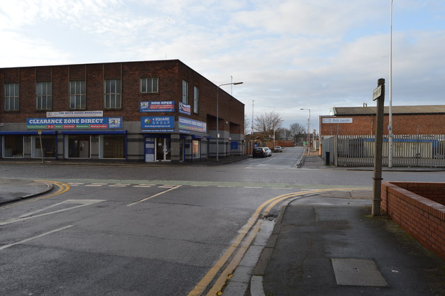
Spyvee St, New Cleveland St junction
The A1165 is a road in two halves in the city of Kingston upon Hull.
The road leaves the A1079 Beverley Road at traffic lights in Newland, with the B1233 continuing our line west. We head eastwards along Clough Road, which starts residential but becomes lined with warehousing and light industry after a drain is crossed. After a roundabout the road becomes D2 to cross adjacent lift bridges over the River Hull, meeting a roundabout on the A1033 on the far side.
There is a multiplex south along the A1033 for over half a mile; the road starts off dual but later becomes single-carriageway and we go under a freight railway line. The road remains industrial, however. At one of the roundabouts the A1033 bears left whilst we take the right fork to regain the A1165. It heads south along Cleveland Street, which becomes New Cleveland Street to reach traffic lights on the A165 Witham. This is crossed via a staggered crossroads and we continue along Great Union Street, meeting a spur of the A165 at traffic lights before ending at a roundabout on the A63.
See other images of A1165 Road
 Map © Crown Copyright")
TIP: Click the map for more Large scale mapping
- Grid Square
- TA1029, 1231 images (more nearby 🔍)
- Photographer
- N Chadwick (more nearby)
- Date Taken
- Saturday, 31 December, 2016 (more nearby)
- Submitted
- Friday, 26 May, 2017
- Subject Location
-
OSGB36:
 TA 1031 2937 [10m precision]
WGS84: 53:44.9422N 0:19.7192W - Camera Location
-
OSGB36: TA 1035 2938
- View Direction
- West-southwest (about 247 degrees)