2017
NS3678 : Track beside Cardross Road
taken 7 years ago, near to Cardross, Argyll And Bute, Scotland
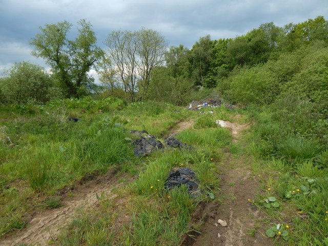
Track beside Cardross Road
The view is from the same place as NS3678 : Tracks beside Cardross Road, but in the opposite direction. The 1:25000 map shows these short tracks just to the south of Cardross Road; they are shown more clearly on larger-scale mapping.
 Map © Crown Copyright")
TIP: Click the map for more Large scale mapping
- Grid Square
- NS3678, 137 images (more nearby 🔍)
- Photographer
- Lairich Rig (more nearby)
- Date Taken
- Friday, 19 May, 2017 (more nearby)
- Submitted
- Sunday, 28 May, 2017
- Subject Location
-
OSGB36:
 NS 3608 7834 [10m precision]
WGS84: 55:58.1995N 4:37.6853W - Camera Location
-
OSGB36: NS 3610 7835
- View Direction
- West-southwest (about 247 degrees)