2017
TQ5840 : Foundation Stone, Church of St Luke
taken 7 years ago, near to Royal Tunbridge Wells, Kent, England
This is 1 of 5 images, with title Foundation Stone, Church of St Luke in this square
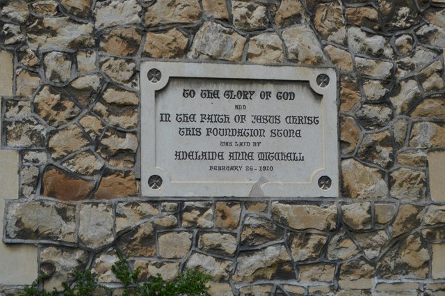
Foundation Stone, Church of St Luke
St Luke's church is an Edwardian Church built in 1909. The parish appears to have been known as St Lukes from about 1904 onwards, long before St Luke's church was built or the parish formally established.
St Luke's church is built of Kent ragstone with Bathstone details and tiled roofs. Five wonderful stained glassed windows designed by William Glasby were dedicated in 1924, with other smaller stained glass windows added later. St Luke's church bell tower, dedicated in 1919, contains bells which are clavier chime with ringing clappers. The Norman and Beard organ, fitted in 1910 was extensively renovated in 1991. A number of internal alterations to St Luke's church have taken place over the years, including the creation of a memorial chapel in 1952.
A mission church linked to St John's Church was provided on the site in 1895, but in 1910 it was superseded by the present buildingdesigned by E.E. Cronk and considered old-fashioned in its design (architectural historian John Newman said it was "like a church of the 1870s"). A Russian Orthodox congregation under the Moscow Patriarchate has occasional use of the building.
See other images of Church of St Luke, Tunbridge Wells
 Map © Crown Copyright")
TIP: Click the map for more Large scale mapping
- Grid Square
- TQ5840, 3571 images (more nearby 🔍)
- Photographer
- N Chadwick (more nearby)
- Date Taken
- Tuesday, 4 April, 2017 (more nearby)
- Submitted
- Sunday, 28 May, 2017
- Subject Location
-
OSGB36:
 TQ 5881 4083 [10m precision]
WGS84: 51:8.6825N 0:16.1388E - Camera Location
-
OSGB36: TQ 5882 4083
- View Direction
- WEST (about 270 degrees)