2017
SX9053 : Bridleway, Slapper's Hill
taken 7 years ago, near to Hillhead, Devon, England
This is 1 of 2 images, with title Bridleway, Slapper's Hill in this square
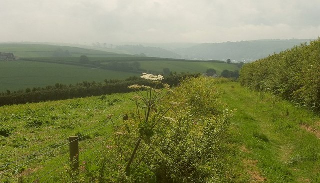
Bridleway, Slapper's Hill
A zoomed view of SX9053 : Bridleway, Slapper's Hill, with cloud in the Dart valley ahead.
 Map © Crown Copyright")
TIP: Click the map for more Large scale mapping
- Grid Square
- SX9053, 54 images (more nearby 🔍)
- Photographer
- Derek Harper (more nearby)
- Date Taken
- Wednesday, 31 May, 2017 (more nearby)
- Submitted
- Thursday, 1 June, 2017
- Subject Location
-
OSGB36:
 SX 9009 5321 [10m precision]
WGS84: 50:22.1097N 3:32.8084W - Camera Location
-
OSGB36: SX 9015 5327
- View Direction
- Southwest (about 225 degrees)