2017
SX0169 : Bridge over Camel Trail
taken 7 years ago, near to Burlawn, Cornwall, England
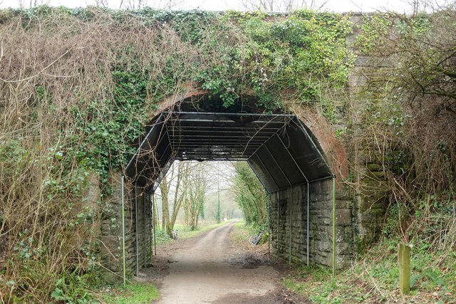
Bridge over Camel Trail
Carrying the lane just east of Polbrok Bridge, and also shown in SX0169 : Road bridge over Camel Trail at Polbrock Bridge and SX0169 : Polbrock bridge over the Camel Trail.
 Map © Crown Copyright")
TIP: Click the map for more Large scale mapping
- Grid Square
- SX0169, 42 images (more nearby 🔍)
- Photographer
- Derek Harper (more nearby)
- Date Taken
- Saturday, 21 January, 2017 (more nearby)
- Submitted
- Wednesday, 7 June, 2017
- Subject Location
-
OSGB36:
 SX 0141 6951 [10m precision]
WGS84: 50:29.4993N 4:48.0689W - Camera Location
-
OSGB36: SX 0141 6950
- View Direction
- North-northwest (about 337 degrees)