J3373 : Potential development site, Posnett Street, Belfast - June 2017(2)
taken 7 years ago, near to Belfast, Co Antrim, Northern Ireland
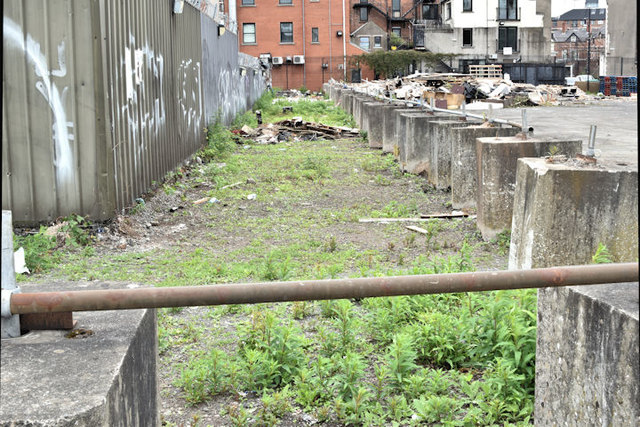
The following is part of a press release issued by the Department for Social Development (DSD) on 8 October 2014: Announcing the consultation, Minister Storey said: Shaftesbury Square is a vital node of economic and social activity within south Belfast. Over the last number of years the area, like many others, has suffered the effects of the economic downturn. In partnership with the South Belfast Partnership Board, my Department commissioned the draft framework to establish an integrated plan designed to steer regeneration across this area and surrounding communities.
The photographs submitted by me appear as a neutral matter of record only. I have no connection with the DSD or any of the parties involved in the scheme or in objecting to it. I cannot enter into any correspondence.
- Grid Square
- J3373, 2776 images (more nearby 🔍)
- Photographer
- Albert Bridge (more nearby)
- Date Taken
- Sunday, 11 June, 2017 (more nearby)
- Submitted
- Sunday, 11 June, 2017
- Subject Location
-
Irish:
 J 336 731 [100m precision]
WGS84: 54:35.3354N 5:55.9692W - Camera Location
-
Irish: J 336 731
- View Direction
- North-northwest (about 337 degrees)