2017

TA1464 : A165

taken 7 years ago, near to Carnaby, East Riding of Yorkshire, England

This is 1 of 2 images, with title A165 in this square
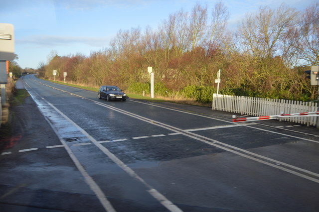
A165
A165
The A165 runs 50 miles along the Yorkshire coast from Hull to north of Scarborough but is rarely actually within sight of the sea.
LinkExternal link

See other images of A165 Road

Creative Commons Licence [Some Rights Reserved]   © Copyright N Chadwick and licensed for reuse under this Creative Commons Licence.
Geographical Context: Roads, Road transport
This photo is linked from: Automatic Clusters: · A165 [8] Title Clusters: · A165 [2] ·
1:50,000 Modern Day Landranger(TM) Map © Crown Copyright
+
+
1:50,000 Modern Day Landranger(TM) Map © Crown Copyright
TIP: Click the map for more Large scale mapping
Grid Square
TA1464, 46 images   (more nearby 🔍)
Photographer
N Chadwick   (more nearby)
Date Taken
Monday, 2 January, 2017   (more nearby)
Submitted
Sunday, 11 June, 2017
Subject Location
OSGB36: geotagged! TA 1486 6491 [10m precision]
WGS84: 54:4.0399N 0:14.7818W
Camera Location
OSGB36: geotagged! TA 1487 6490
View Direction
Northwest (about 315 degrees)
Clickable map
+
NW N NE
W Go E
SW S SE
Image Type (about): geograph 
This page has been viewed about 22 times
You are not logged in login | register