2017
TQ5688 : View from Hall Lane and the London LOOP
taken 7 years ago, near to Cranham, Havering, England
This is 1 of 2 images, with title View from Hall Lane and the London LOOP in this square
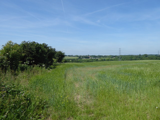
View from Hall Lane and the London LOOP
The London LOOP follows Hall lane between River Drive and the A127 and beyond. If you dodge the traffic there are fine views westwards as here across the valley of the Ingrebourne River near The Strawberry Farm.
 Map © Crown Copyright")
TIP: Click the map for more Large scale mapping
- Grid Square
- TQ5688, 21 images (more nearby 🔍)
- Photographer
- Marathon (more nearby)
- Date Taken
- Wednesday, 14 June, 2017 (more nearby)
- Submitted
- Friday, 16 June, 2017
- Subject Location
-
OSGB36:
 TQ 5626 8881 [10m precision]
WGS84: 51:34.5900N 0:15.2172E - Camera Location
-
OSGB36: TQ 5648 8879
- View Direction
- WEST (about 270 degrees)