2017
SH5770 : Ruin, South of Minffordd
taken 7 years ago, near to Glasinfryn, Gwynedd, Wales
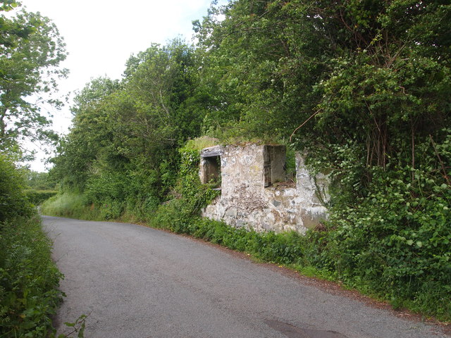
Ruin, South of Minffordd
 Map © Crown Copyright")
TIP: Click the map for more Large scale mapping
- Grid Square
- SH5770, 23 images (more nearby 🔍)
- Photographer
- Chris Andrews (more nearby)
- Date Taken
- Sunday, 11 June, 2017 (more nearby)
- Submitted
- Saturday, 17 June, 2017
- Subject Location
-
OSGB36:
 SH 5772 7036 [10m precision]
WGS84: 53:12.6721N 4:7.9220W - Camera Location
-
OSGB36: SH 5771 7034
- View Direction
- Northeast (about 45 degrees)