2017
TF7235 : Old farm machinery along the Peddars Way
taken 7 years ago, near to Fring, Norfolk, England
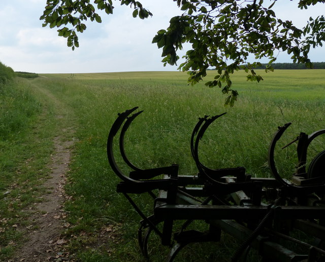
Old farm machinery along the Peddars Way
The Peddars Way is a long distance footpath in Norfolk. It is 46 miles long and follows the route of a Roman road. It has been suggested by more than one writer that it was not created by the Romans but was an ancient trackway, a branch or extension of the Icknield Way, used and remodelled by the Romans. The name is said to be derived from the Latin pedester on foot. It starts at Knettishall Heath in Suffolk (near the Norfolk-Suffolk border, about 4 miles east of Thetford), and it links with the Norfolk Coast Path at Holme-next-the-Sea.
Combined with the Norfolk Coast Path, it forms the Peddars Way & Norfolk Coast Path National Trail, one of 15 National Trails in England and Wales, and the two paths together run for 97 miles.
Wikipedia: Link
See other images of Peddars Way
Combined with the Norfolk Coast Path, it forms the Peddars Way & Norfolk Coast Path National Trail, one of 15 National Trails in England and Wales, and the two paths together run for 97 miles.
Wikipedia: Link
See other images of Peddars Way
 Map © Crown Copyright")
TIP: Click the map for more Large scale mapping
- Grid Square
- TF7235, 33 images (more nearby 🔍)
- Photographer
- Mat Fascione (more nearby)
- Date Taken
- Monday, 19 June, 2017 (more nearby)
- Submitted
- Thursday, 22 June, 2017
- Subject Location
-
OSGB36:
 TF 727 356 [100m precision]
WGS84: 52:53.4171N 0:33.9617E - Camera Location
-
OSGB36: TF 727 356
- View Direction
- NORTH (about 0 degrees)