2007
TQ2904 : St John's Road
taken 17 years ago, near to Brighton and Hove, England
This is 1 of 2 images, with title St John's Road in this square
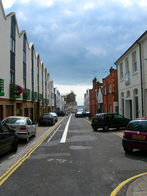
St John's Road
The road marks the boundary between two different developments in Hove, Adelaide Crescent/Palmeira Square to the east and the Avenues to the west. Originally a service road for the former now a back road with some businesses and new developments.
 Map © Crown Copyright")
TIP: Click the map for more Large scale mapping
- Grid Square
- TQ2904, 824 images (more nearby 🔍)
- Photographer
- Simon Carey (more nearby)
- Date Taken
- Sunday, 2 September, 2007 (more nearby)
- Submitted
- Sunday, 2 September, 2007
- Subject Location
-
OSGB36:
 TQ 293 045 [100m precision]
WGS84: 50:49.5522N 0:9.8985W - Camera Location
-
OSGB36: TQ 293 045
- View Direction
- SOUTH (about 180 degrees)