2017
TM1013 : Lee Wick Sluice
taken 7 years ago, near to Point Clear, Essex, England
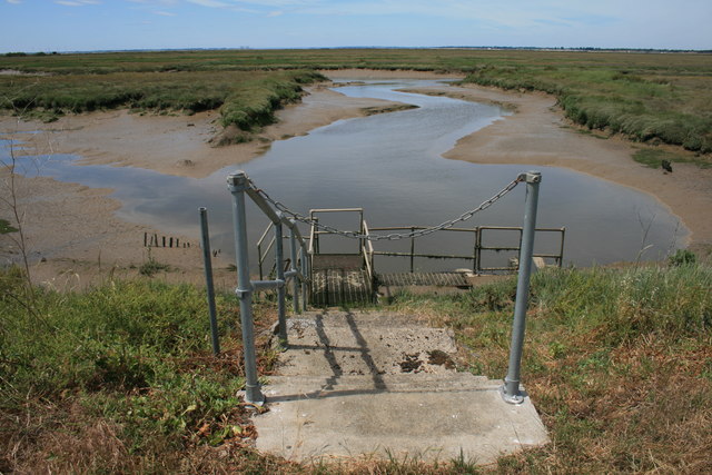
Lee Wick Sluice
 Map © Crown Copyright")
TIP: Click the map for more Large scale mapping
- Grid Square
- TM1013, 22 images (more nearby 🔍)
- Photographer
- Paul Franks (more nearby)
- Date Taken
- Monday, 26 June, 2017 (more nearby)
- Submitted
- Tuesday, 27 June, 2017
- Subject Location
-
OSGB36:
 TM 103 132 [100m precision]
WGS84: 51:46.7067N 1:2.8991E - Camera Location
-
OSGB36: TM 104 132
- View Direction
- West-southwest (about 247 degrees)