2017
NF8229 : Abhainn Cormasgot South Uist
taken 7 years ago, near to Maoladh Nan Speireag [other Features], Na h-Eileanan an Iar, Great Britain
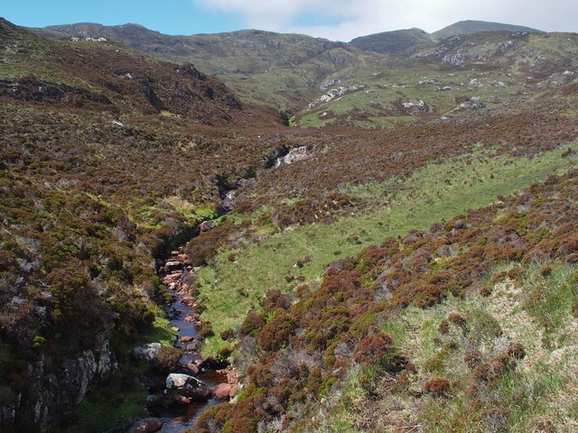
Abhainn Cormasgot South Uist
Looking up the Abhainn Cormasgot towards Beinn Mhor
 Map © Crown Copyright")
TIP: Click the map for more Large scale mapping
- Grid Square
- NF8229 (more nearby 🔍)
- Photographer
- Pete Lynn (more nearby)
- Date Taken
- Tuesday, 30 May, 2017 (more nearby)
- Submitted
- Monday, 3 July, 2017
- Subject Location
-
OSGB36:
 NF 8246 2912 [10m precision]
WGS84: 57:14.5304N 7:15.9578W - Camera Location
-
OSGB36: NF 8269 2901
- View Direction
- West-northwest (about 292 degrees)