2017
TA3618 : Soak Dike and East Level Bank
taken 7 years ago, near to Skeffling, East Riding of Yorkshire, England
This is 1 of 6 images, with title starting with Soak Dike in this square
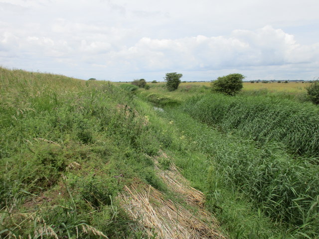
Soak Dike and East Level Bank
East Level Bank is on the left of the picture and separates the low lying land around Skeffling from the tidal Humber.
 Map © Crown Copyright")
TIP: Click the map for more Large scale mapping
- Grid Square
- TA3618, 42 images (more nearby 🔍)
- Photographer
- Jonathan Thacker (more nearby)
- Date Taken
- Monday, 3 July, 2017 (more nearby)
- Submitted
- Monday, 3 July, 2017
- Subject Location
-
OSGB36:
 TA 3684 1837 [10m precision]
WGS84: 53:38.6370N 0:4.1133E - Camera Location
-
OSGB36: TA 3690 1834
- View Direction
- West-northwest (about 292 degrees)