2017
SJ7546 : Waste land in Wrinehill
taken 7 years ago, near to Wrinehill, Staffordshire, England
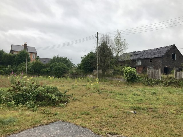
Waste land in Wrinehill
 Map © Crown Copyright")
TIP: Click the map for more Large scale mapping
- Grid Square
- SJ7546, 31 images (more nearby 🔍)
- Photographer
- Jonathan Hutchins (more nearby)
- Date Taken
- Wednesday, 28 June, 2017 (more nearby)
- Submitted
- Wednesday, 5 July, 2017
- Subject Location
-
OSGB36:
 SJ 7539 4696 [10m precision]
WGS84: 53:1.1620N 2:22.0988W - Camera Location
-
OSGB36: SJ 75403 46930
- View Direction
- North-northwest (about 337 degrees)