2017
SO8845 : Wheat north of Croome Park
taken 7 years ago, near to High Green, Worcestershire, England
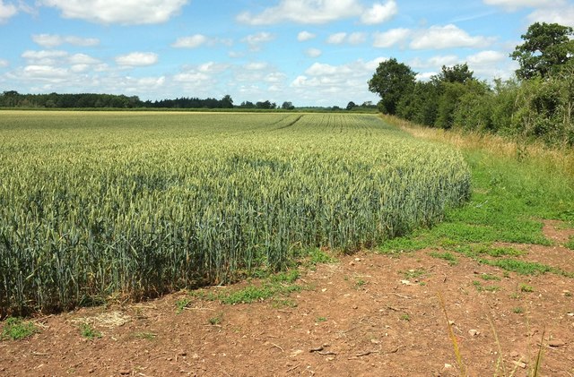
Wheat north of Croome Park
From footpath CA 506, here running just outside the northern perimeter of the National Trust property.
 Map © Crown Copyright")
TIP: Click the map for more Large scale mapping
- Grid Square
- SO8845, 441 images (more nearby 🔍)
- Photographer
- Derek Harper (more nearby)
- Date Taken
- Saturday, 1 July, 2017 (more nearby)
- Submitted
- Sunday, 9 July, 2017
- Subject Location
-
OSGB36:
 SO 8827 4514 [10m precision]
WGS84: 52:6.2679N 2:10.3604W - Camera Location
-
OSGB36: SO 8826 4508
- View Direction
- NORTH (about 0 degrees)