2017
SP2788 : Mill Lane-Tamworth Road junction
taken 7 years ago, near to Fillongley, Warwickshire, England
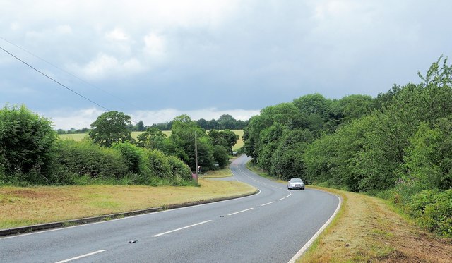
Mill Lane-Tamworth Road junction
The road from Fillongley to Tamworth at the junction with Mill Lane
 Map © Crown Copyright")
TIP: Click the map for more Large scale mapping
- Grid Square
- SP2788, 7 images (more nearby 🔍)
- Photographer
- Graham Jones (more nearby)
- Date Taken
- Monday, 10 July, 2017 (more nearby)
- Submitted
- Monday, 10 July, 2017
- Subject Location
-
OSGB36:
 SP 2747 8869 [10m precision]
WGS84: 52:29.7259N 1:35.8089W - Camera Location
-
OSGB36: SP 2753 8859
- View Direction
- North-northwest (about 337 degrees)