2017
SH2875 : Path through the woods
taken 7 years ago, near to Llanfairyneubwll, Isle of Anglesey/Sir Ynys Mon, Wales
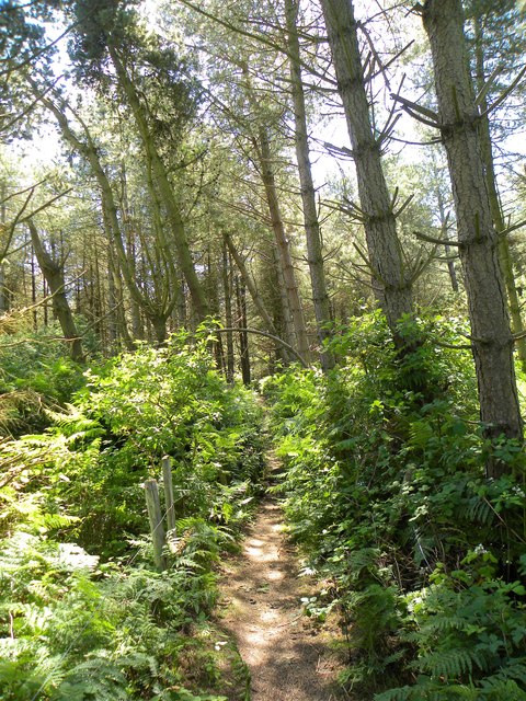
Path through the woods
A small area of what appears to be planted woodland at the back of Traeth Llydan, the ground underfoot becoming more sandy as one approaches the bay. This may have been planted to arrest the spread of dunes inland. Also part of the Anglesey Coast Path.
 Map © Crown Copyright")
TIP: Click the map for more Large scale mapping
- Grid Square
- SH2875, 44 images (more nearby 🔍)
- Photographer
- Gordon Hatton (more nearby)
- Date Taken
- Sunday, 2 July, 2017 (more nearby)
- Submitted
- Monday, 10 July, 2017
- Subject Location
-
OSGB36:
 SH 2897 7536 [10m precision]
WGS84: 53:14.8575N 4:33.8882W - Camera Location
-
OSGB36: SH 2896 7539
- View Direction
- South-southeast (about 157 degrees)