2017
SK0264 : Moorland and Plantation near Brund Hill
taken 7 years ago, 3 km from Flash, Staffordshire, England
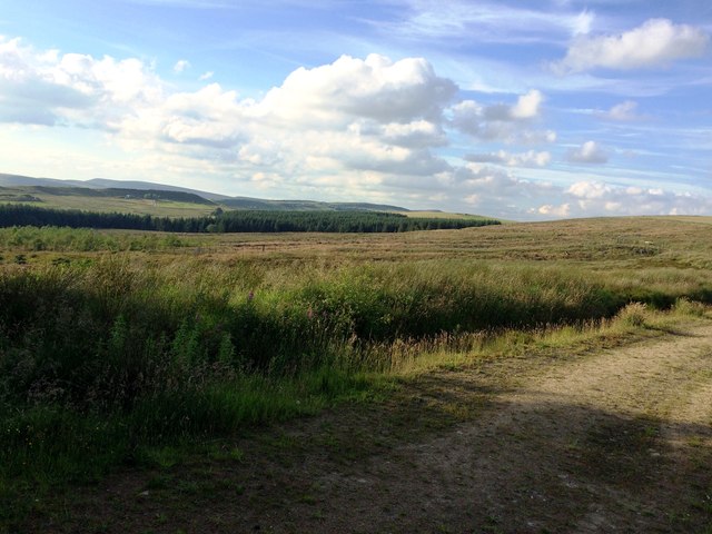
Moorland and Plantation near Brund Hill
The hill rises to the right of picture beyond which is the main Buxton - Leek Road. The plantation has been cut back in recent times
 Map © Crown Copyright")
TIP: Click the map for more Large scale mapping
- Grid Square
- SK0264, 15 images (more nearby 🔍)
- Photographer
- Jonathan Clitheroe (more nearby)
- Date Taken
- Saturday, 8 July, 2017 (more nearby)
- Submitted
- Monday, 10 July, 2017
- Subject Location
-
OSGB36:
 SK 0255 6430 [10m precision]
WGS84: 53:10.5481N 1:57.7983W - Camera Location
-
OSGB36: SK 0256 6415
- View Direction
- NORTH (about 0 degrees)