2017
TR0018 : Lydd Ranges
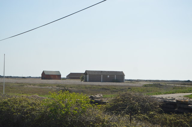
taken 7 years ago, 4 km SW of Lydd, Kent, England
This is 1 of 4 images, with title Lydd Ranges in this square
Lydd Ranges
Lydd Ranges is a military firing range south of Lydd, in Kent. It extends as far as the coast.
It has been used for military training for over 150 years. Because the range is used for live firing access is sometimes restricted - red flags are flown during these times, access is prohibited along the foreshore and Galloways Road. Also red lights are shown at restricted times due to poor weather. The Danger area extends out to sea and mariners sailing to and from Rye Harbour must pass south of the Stephenson Shoal to avoid it. Firing occurs about 300 days a year. When firing is not carried out, it may be possible to walk along a designated path along the shore.
Lydd Camp is at the northern end of the ranges, on the southern border of Lydd.
See other images of Lydd Camp & Ranges
 Map © Crown Copyright")
TIP: Click the map for more Large scale mapping
- Grid Square
- TR0018, 23 images (more nearby 🔍)
- Photographer
- N Chadwick (more nearby)
- Date Taken
- Thursday, 6 April, 2017 (more nearby)
- Submitted
- Tuesday, 11 July, 2017
- Subject Location
-
OSGB36:
 TR 0081 1858 [10m precision]
WGS84: 50:55.9022N 0:51.3825E - Camera Location
-
OSGB36: TR 0079 1879
- View Direction
- SOUTH (about 180 degrees)