2017
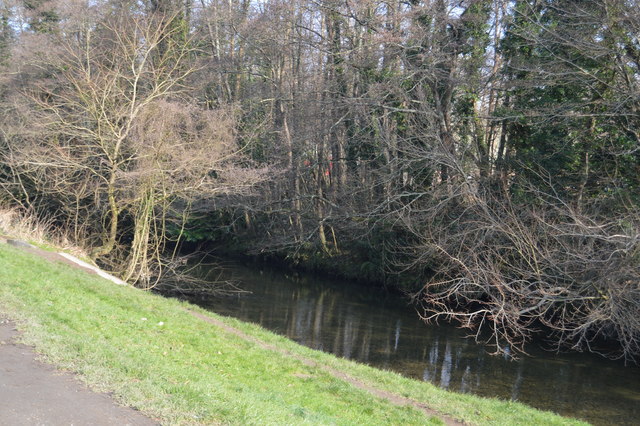
SX5157 : River Plym
taken 7 years ago, 3 km from Crownhill, Plymouth, England
This is 1 of 8 images, with title River Plym in this square
River Plym
The River Plym is a river in Devon. Its source is some 450m above sea level on Dartmoor, in an upland marshy area called Plym Head. From the upper reaches, which contain antiquities and mining remains, the river flows roughly southwest and enters the sea at Plymouth Sound. The river passes to the east of (and gives its name to) the city of Plymouth the settlement was historically known as Sutton. Its tidal estuary is known as The Laira and the final part is called Cattewater. It is approximately 30 km long.
See other images of River Plym
See other images of River Plym
 Map © Crown Copyright")
TIP: Click the map for more Large scale mapping
- Grid Square
- SX5157, 66 images (more nearby 🔍)
- Photographer
- N Chadwick (more nearby)
- Date Taken
- Sunday, 12 February, 2017 (more nearby)
- Submitted
- Tuesday, 11 July, 2017
- Subject Location
-
OSGB36:
 SX 5181 5737 [10m precision]
WGS84: 50:23.8488N 4:5.1825W - Camera Location
-
OSGB36: SX 5179 5736
- View Direction
- East-northeast (about 67 degrees)