2009
SO5174 : Upper Linney
taken 15 years ago, near to Ludlow, Shropshire, England
This is 1 of 17 images, with title Upper Linney in this square
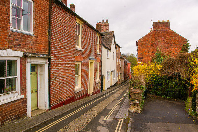
Upper Linney
Looking down Upper Linney from below its junction with College Street.
 Map © Crown Copyright")
TIP: Click the map for more Large scale mapping
- Grid Square
- SO5174, 2740 images (more nearby 🔍)
- Photographer
- Ian Capper (more nearby)
- Date Taken
- Friday, 10 April, 2009 (more nearby)
- Submitted
- Tuesday, 11 July, 2017
- Subject Location
-
OSGB36:
 SO 510 747 [100m precision]
WGS84: 52:22.1203N 2:43.2146W - Camera Location
-
OSGB36: SO 510 747
- View Direction
- West-southwest (about 247 degrees)