2017
ST9160 : Canal just west of Melksham Park Farm
taken 7 years ago, near to Bowerhill, Wiltshire, England
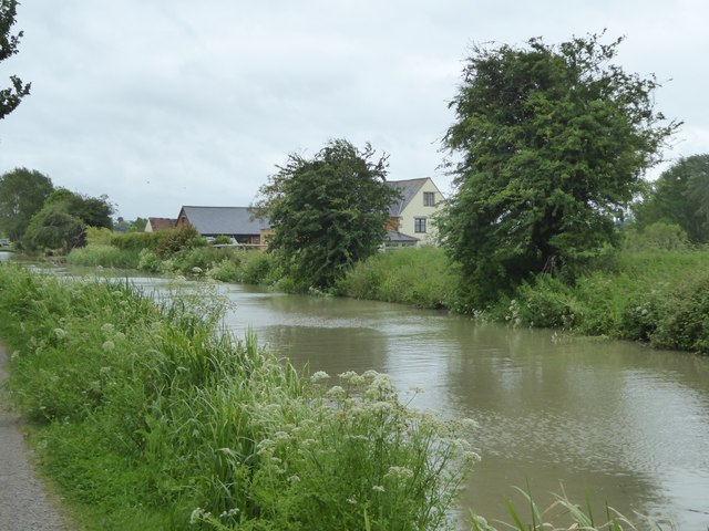
Canal just west of Melksham Park Farm
The farm is just visible on the further bank
Kennet & Avon Canal
The Kennet and Avon is made up of two river navigations and a linking stretch of canal. It runs from Hanham Lock near Bristol to the River Thames at Reading, over 100 miles long with more than 100 locks, some magnificent engineering and crossing some of the most beautiful scenery in southern England. It was only reopened in 1990 after decades of dereliction.
 Map © Crown Copyright")
TIP: Click the map for more Large scale mapping
- Grid Square
- ST9160, 42 images (more nearby 🔍)
- Photographer
- David Smith (more nearby)
- Date Taken
- Thursday, 8 June, 2017 (more nearby)
- Submitted
- Wednesday, 12 July, 2017
- Subject Location
-
OSGB36:
 ST 9130 6085 [10m precision]
WGS84: 51:20.7998N 2:7.5781W - Camera Location
-
OSGB36: ST 9126 6085
- View Direction
- EAST (about 90 degrees)