2017
NY8537 : Track down to Ireshopeburn
taken 7 years ago, near to Ireshopeburn, County Durham, England
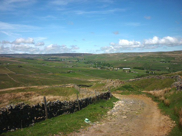
Track down to Ireshopeburn
Looking towards upper Weardale.
 Map © Crown Copyright")
TIP: Click the map for more Large scale mapping
- Grid Square
- NY8537, 20 images (more nearby 🔍)
- Photographer
- Karl and Ali (more nearby)
- Date Taken
- Wednesday, 24 May, 2017 (more nearby)
- Submitted
- Wednesday, 12 July, 2017
- Subject Location
-
OSGB36:
 NY 8585 3746 [10m precision]
WGS84: 54:43.9151N 2:13.2753W - Camera Location
-
OSGB36: NY 8585 3746
- View Direction
- NORTH (about 0 degrees)