2017
NO6774 : Up-stream Devilly Burn
taken 7 years ago, 3 km from Bent, Aberdeenshire, Scotland
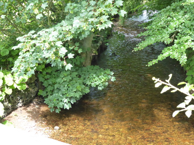
Up-stream Devilly Burn
From the bridge on B966.
 Map © Crown Copyright")
TIP: Click the map for more Large scale mapping
- Grid Square
- NO6774, 19 images (more nearby 🔍)
- Photographer
- Stanley Howe (more nearby)
- Date Taken
- Wednesday, 12 July, 2017 (more nearby)
- Submitted
- Saturday, 15 July, 2017
- Subject Location
-
OSGB36:
 NO 6759 7467 [10m precision]
WGS84: 56:51.7385N 2:31.9898W - Camera Location
-
OSGB36: NO 6759 7466
- View Direction
- North-northwest (about 337 degrees)