2017
NT5631 : Farm buildings at Whiterigg
taken 7 years ago, near to Bowden, Scottish Borders, Scotland
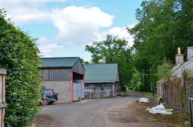
Farm buildings at Whiterigg
Just past here the track meets the public road to Greenwells and Eildon, but the path continues on direct to Newtown St Boswells.
 Map © Crown Copyright")
TIP: Click the map for more Large scale mapping
- Grid Square
- NT5631, 15 images (more nearby 🔍)
- Photographer
- Jim Barton (more nearby)
- Date Taken
- Friday, 14 July, 2017 (more nearby)
- Submitted
- Saturday, 15 July, 2017
- Subject Location
-
OSGB36:
 NT 5612 3141 [10m precision]
WGS84: 55:34.4618N 2:41.8490W - Camera Location
-
OSGB36: NT 5608 3138
- View Direction
- East-northeast (about 67 degrees)