2017
TF6114 : Power lines near the River Nar
taken 7 years ago, near to Saddle Bow, Norfolk, England
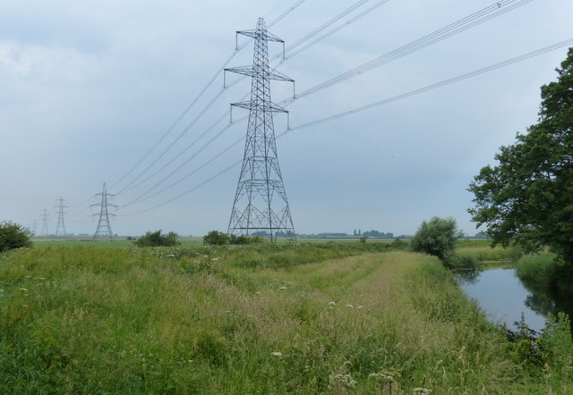
Power lines near the River Nar
The River Nar is a tributary of the River Great Ouse. It rises at Mileham near Litcham in Norfolk and flows 15 miles west through Castle Acre and Narborough (the latter giving the Nar its name), joining the Ouse at King's Lynn.
See other images of River Nar
See other images of River Nar
 Map © Crown Copyright")
TIP: Click the map for more Large scale mapping
- Grid Square
- TF6114, 31 images (more nearby 🔍)
- Photographer
- Mat Fascione (more nearby)
- Date Taken
- Tuesday, 20 June, 2017 (more nearby)
- Submitted
- Wednesday, 19 July, 2017
- Subject Location
-
OSGB36:
 TF 617 147 [100m precision]
WGS84: 52:42.3689N 0:23.5953E - Camera Location
-
OSGB36: TF 617 147
- View Direction
- West-northwest (about 292 degrees)