2017
TL4473 : Aldreth: aerial 2017
taken 7 years ago, near to Aldreth, Cambridgeshire, England
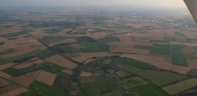
Aldreth: aerial 2017
 Map © Crown Copyright")
TIP: Click the map for more Large scale mapping
- Grid Square
- TL4473, 51 images (more nearby 🔍)
- Photographer
- Chris (more nearby)
- Date Taken
- Monday, 17 July, 2017 (more nearby)
- Submitted
- Wednesday, 19 July, 2017
- Subject Location
-
OSGB36:
 TL 444 732 [100m precision]
WGS84: 52:20.2717N 0:7.1438E - Camera Location
-
OSGB36: TL 463 747
- View Direction
- Southwest (about 225 degrees)