2017
TF4509 : Wisbech from the north: aerial 2017
taken 7 years ago, near to Wisbech, Cambridgeshire, England
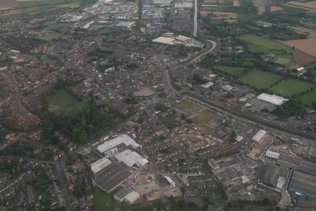
Wisbech from the north: aerial 2017
 Map © Crown Copyright")
TIP: Click the map for more Large scale mapping
- Grid Square
- TF4509, 353 images (more nearby 🔍)
- Photographer
- Chris (more nearby)
- Date Taken
- Monday, 17 July, 2017 (more nearby)
- Submitted
- Wednesday, 19 July, 2017
- Subject Location
-
OSGB36:
 TF 4591 0961 [10m precision]
WGS84: 52:39.8745N 0:9.3679E - Camera Location
-
OSGB36: TF 4631 1135
- View Direction
- South-southwest (about 202 degrees)