2017
TA3419 : North of Weeton Bank
taken 7 years ago, near to Weeton, East Riding of Yorkshire, England
North of Weeton Bank
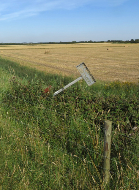
Looking from the flood embankment over the arable land to its northern side. The sign leaning over carries the message 'shooting by permit only'. While pains have been taken to create a sign that will not become illegible over time, less care has been given to making sure it remains upright.
 Map © Crown Copyright")
TIP: Click the map for more Large scale mapping
- Grid Square
- TA3419, 15 images (more nearby 🔍)
- Photographer
- Paul Harrop (more nearby)
- Date Taken
- Tuesday, 18 July, 2017 (more nearby)
- Submitted
- Friday, 21 July, 2017
- Subject Location
-
OSGB36:
 TA 3430 1901 [10m precision]
WGS84: 53:39.0214N 0:1.8261E - Camera Location
-
OSGB36: TA 3434 1901
- View Direction
- WEST (about 270 degrees)