2017
SD7770 : Crummack Lane towards Crummack House
taken 7 years ago, near to Wharfe, North Yorkshire, England
This is 1 of 3 images, with title Crummack Lane towards Crummack House in this square
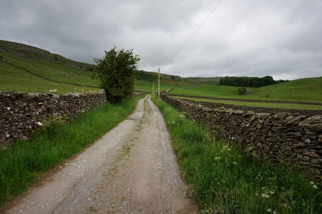
Crummack Lane towards Crummack House
 Map © Crown Copyright")
TIP: Click the map for more Large scale mapping
- Grid Square
- SD7770, 57 images (more nearby 🔍)
- Photographer
- Ian S (more nearby)
- Date Taken
- Monday, 12 June, 2017 (more nearby)
- Submitted
- Sunday, 23 July, 2017
- Subject Location
-
OSGB36:
 SD 7711 7085 [10m precision]
WGS84: 54:7.9789N 2:21.1083W - Camera Location
-
OSGB36: SD 7712 7082
- View Direction
- North-northwest (about 337 degrees)